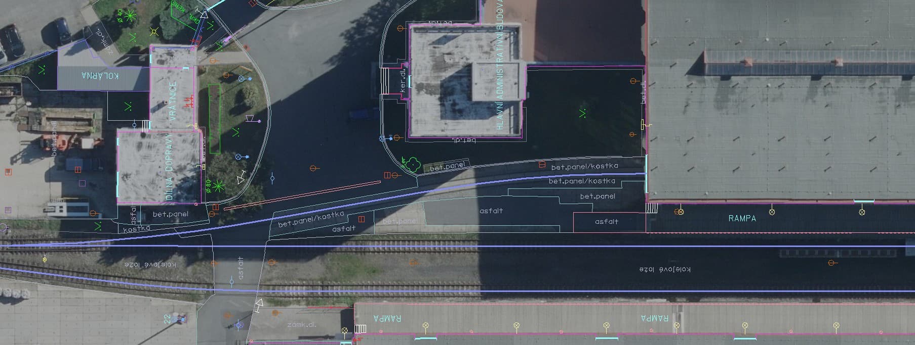
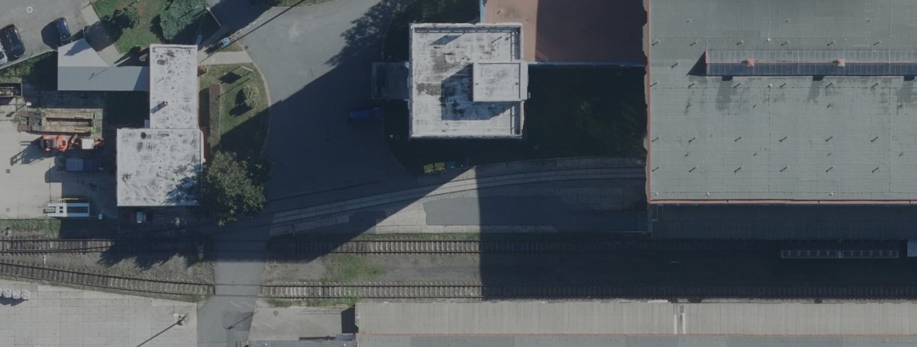
PointGrid is a land-surveying practice. For designers, architects and developers we prepare deliverables knowing that their whole project will be built on them.
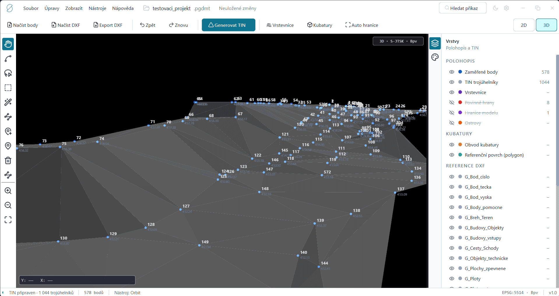
We cover conventional planimetric and altimetric surveying as well as modern Scan to BIM outputs. We work with design firms, road authorities and architectural studios across the Czech Republic.
We treat every commission as the basis for someone's next step — which is why we focus on clean data structure, correct layers and a clear technical report. Communication and responsibility stay in one place.
Our equipment
SOKKIA iX-1500
Robotic total station
Distance accuracy±1 mm + 2 ppm
Angular accuracy1″ (0.3 mgon)
Nivel System Point 3
GNSS receiver
RTK accuracy (H)±8 mm + 1 ppm
RTK accuracy (V)±15 mm + 1 ppm
FARO Orbis Premium
Mobile 3D laser scanner
Accuracy (static)±2 mm
Range120 m
Coordinate system S-JTSKHeight datum Bpv3rd accuracy class per ČSN 01 3410
MicroStation · BricsCAD V26
DGNDWGDXFIFCRVT